Property Analysis: A Meticulous Site Evaluation from the Ground Up
Before the first shovel breaks ground, before a single architectural plan is finalized, the fate of a real estate development project is largely determined by a comprehensive and meticulous site evaluation. This foundational process of property analysis is an intricate investigation that extends far beyond a simple appraisal of location. A thorough site evaluation uncovers the legal, physical, and regulatory DNA of a property, revealing potential obstacles and opportunities that can make or break a project. By delving into every aspect of the site—from its legal boundaries to the composition of the soil beneath—developers can mitigate risks, create accurate financial projections, and lay the groundwork for a successful and profitable venture.
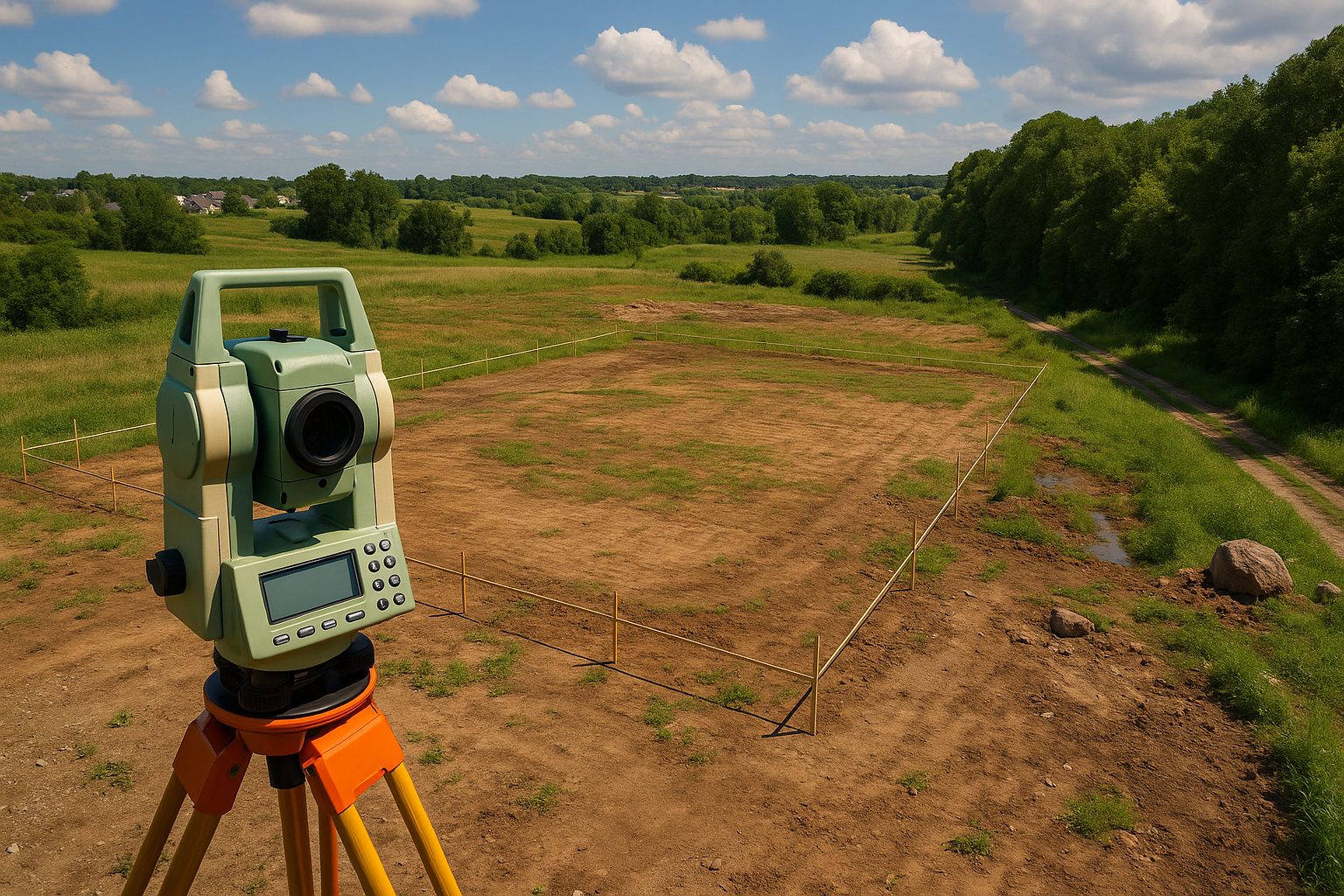
Defining the Canvas: The Critical Importance of Legal Descriptions and Surveys
The very first step in any site evaluation is to establish the precise legal parameters of the property. This goes beyond a street address, which is merely a mailing convenience. The cornerstone of property definition is its legal description, a precise and legally binding delineation of the property’s boundaries. Found in deeds, titles, and other legal documents, the legal description is the definitive word on the extent of ownership.
However, legal descriptions, particularly older ones that may rely on archaic reference points, can sometimes be ambiguous or outdated. This is where a property survey becomes indispensable. A professional land surveyor provides a detailed map of the property, confirming the boundary lines and identifying crucial features such as:
- Existing Improvements: Any current structures, from buildings and fences to roads and utilities.
- Easements: Legal rights of way granted to other parties, such as for utility lines or access to a neighboring property.
- Encroachments: Structures or features from an adjacent property that cross the boundary lines.
For commercial properties, a more intensive ALTA/NSPS Land Title Survey is often required by lenders and title companies, providing a comprehensive view of boundaries, easements, and improvements.
Unearthing Potential Challenges: The Physical Characteristics of the Site
With the legal boundaries firmly established, the focus of the site evaluation shifts to the physical attributes of the land, both visible and subterranean. These characteristics have a profound impact on the design, cost, and feasibility of a project.
Topographical Conditions: The Lay of the Land
Topography—the study of the land’s surface features—is a critical component of site analysis. A detailed topographical survey will map out elevation, slopes, drainage patterns, vegetation, and the presence of any water features like wetlands or streams, all of which heavily influence design and cost.
Subsoil and Geotechnical Conditions: What Lies Beneath
The invisible world beneath the surface is just as important. A geotechnical investigation, which involves soil testing and analysis, is essential to understand soil stability, bearing capacity, groundwater levels, and the presence of rock. Failure to investigate these conditions can lead to catastrophic structural issues and budget overruns.
Navigating the Regulatory Landscape: Zoning, Environmental, and Infrastructure Assessments
A site evaluation is incomplete without a deep dive into the regulatory and logistical framework that governs the property.
Zoning and Land Use Regulations
Local zoning ordinances dictate how a property can be used, controlling factors like permitted uses, density, building height, and setbacks. A proposed development must align with these regulations, or the developer will face a lengthy and uncertain approval process.
Environmental Site Assessment (ESA)
To protect against liability for pre-existing contamination, a phased Environmental Site Assessment (ESA) is a critical due diligence step, starting with a historical records review (Phase I) and potentially moving to soil and water sampling (Phase II) if risks are identified.
Infrastructure and Utility Assessment
A successful development requires access to essential services. An infrastructure assessment evaluates the availability and capacity of water, sewer, electricity, gas, telecommunications, and road access. The cost of extending or upgrading these services must be factored into the project budget.
The Synthesis of Data: From Evaluation to Feasibility
The culmination of a comprehensive site evaluation is a detailed feasibility study. By integrating the findings from the legal, physical, and regulatory assessments, developers can create accurate construction timelines, cost estimates, and financial projections. In the high-stakes world of real estate development, a rigorous site evaluation is not an expense but an investment in risk mitigation and informed decision-making. It is the bedrock upon which successful projects are built.